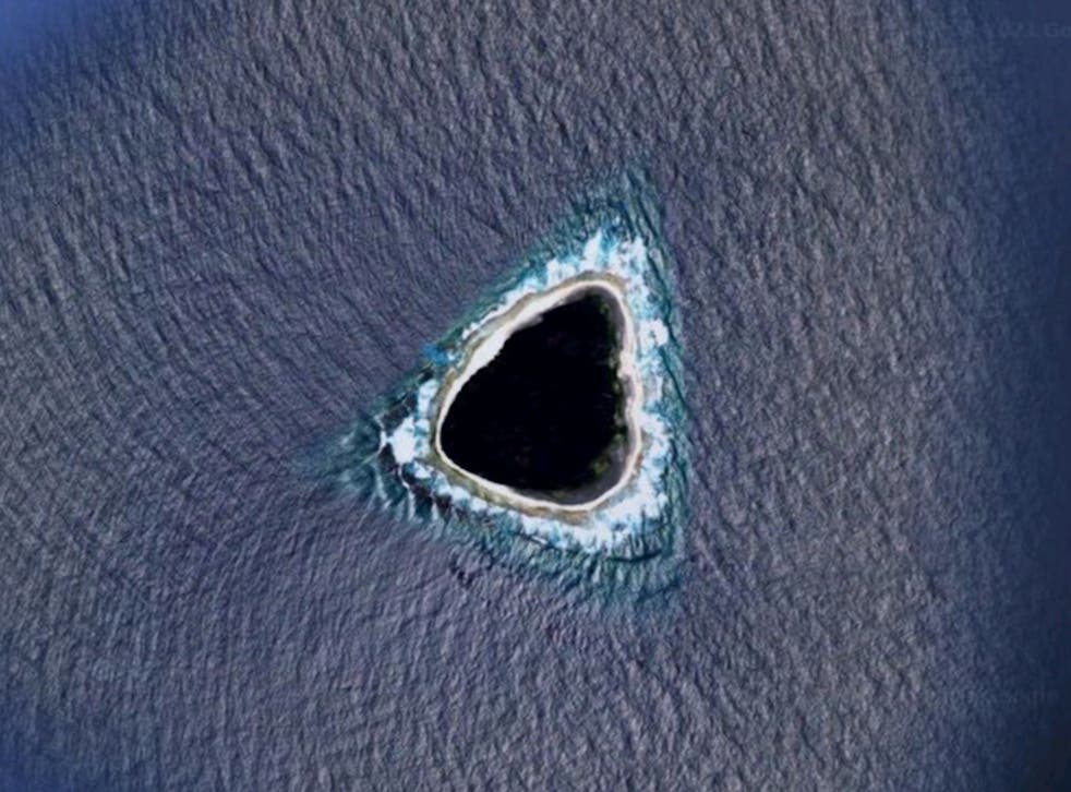
Mysterious ‘black hole’ spotted on Google maps
After it was first reported by a Reddit user, internet sleuths have been stumped as to what a “black hole” displayed on Google Maps is. Kokoblocks published the three-sided black hole on Reddit last week, writing, “what the F*** this looks nothing like an island.” Following that, Redditors debated whether the black hole was an […]


After it was first reported by a Reddit user, internet sleuths have been stumped as to what a “black hole” displayed on Google Maps is.
Kokoblocks published the three-sided black hole on Reddit last week, writing, “what the F*** this looks nothing like an island.”
Following that, Redditors debated whether the black hole was an island, a passage to another realm, or a hidden military base.
Many people used Google Maps to locate the black hole. It turned out to be Vostok Island, an atoll belonging to the Republic of Kiribati.
According to Live Science, Google frequently blurs military sites and other “secret” areas to prevent releasing information about their position. It can lead to suspicion about a “black hole.”

“My first thought was that it’s censored,” a Reddit user wrote. “It wouldn’t make sense for a natural formation to be black like that in such a shallow, small atoll/island.”
Vostok Island is a purportedly uninhabited atoll around 2,280 kilometers (3,902 miles) east of Sydney, Australia. Several Reddit users reportedly discovered it.
“Could maybe be an underground volcano which is what causes the blackness, assuming it isn’t a hole. Most likely igneous rock” speculated another Reddit user, who turned out to be almost right.
Vostok is one of five atolls in the southern Line Islands of the Pacific Ocean. Humans also rarely visited it, according to National Geographic.
Both on and off-shore, the network of islands is very diversified.
This article Mysterious ‘black hole’ spotted on Google maps appeared first on BreezyScroll.
Read more on BreezyScroll.


